A tour of the farm
12 May 2019 - Tansy Arron-Walker
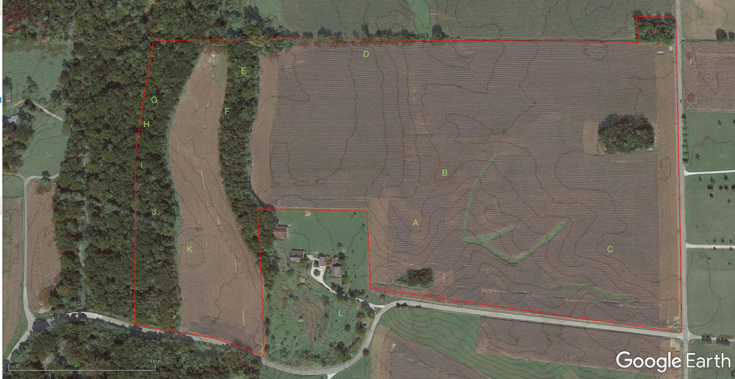
I’ve made a bit of a walking tour of the property out of pictures I took last time we were out there. I’ve marked the locations of the photos here and will refer to them throughout. (It might be slightly hard to see, but there are letters all over this picture)
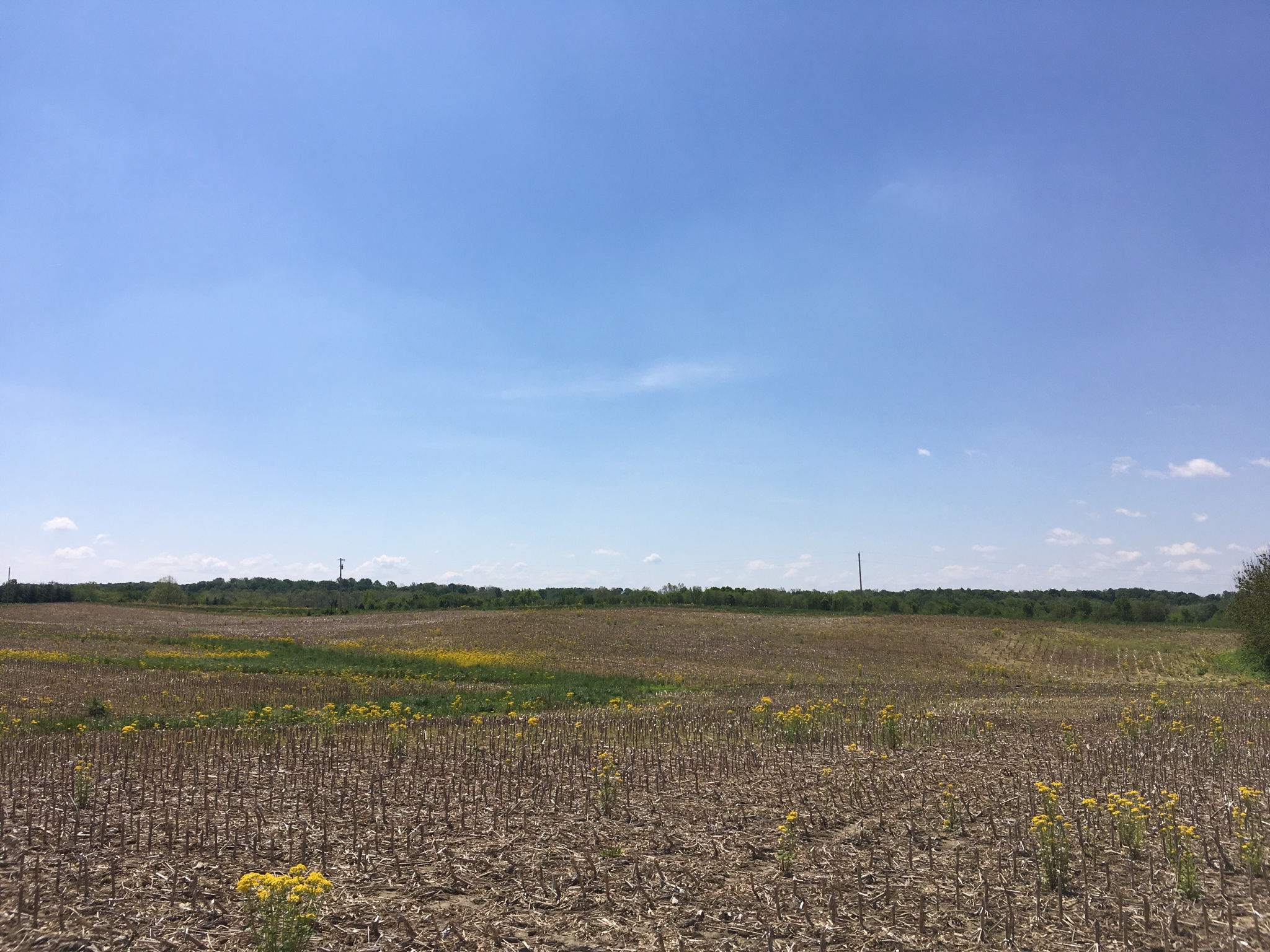
A) I’m standing just in front of the knob looking East. The house site is about 50’ ahead and to my left, just out of frame.
The grassy depression in front of me will become the properties largest pond. Roughly 3 acres of water.
B) Standing on the house site, looking south. You can see the future pond directly in front of me.
Power poles mark River Road. We’ll be planting a ton of trees between the pond and the road.
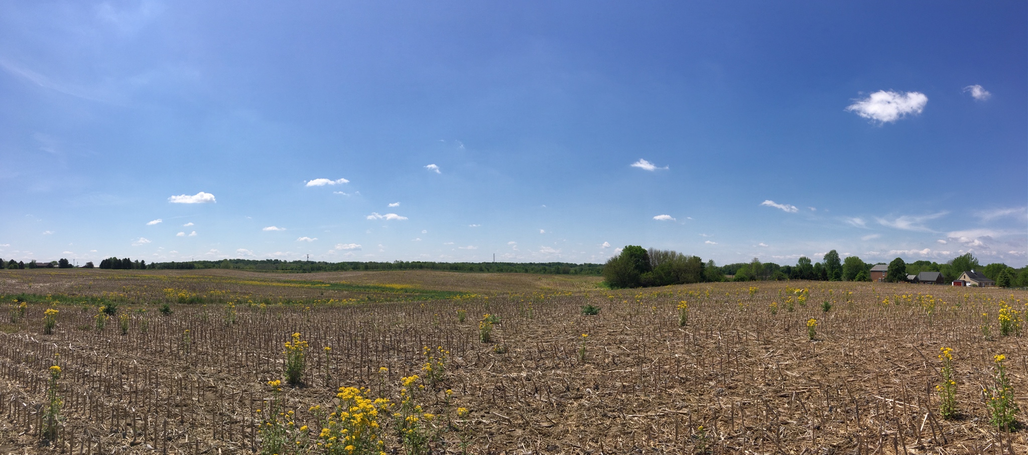
B) Standing on the house site looking south, but with a wider view. To the right you can see Cooper Alley House (my mother in law’s place) and it’s outbuildings. The trees in the distance on the left side mark the intersection of River Rd and 650E.
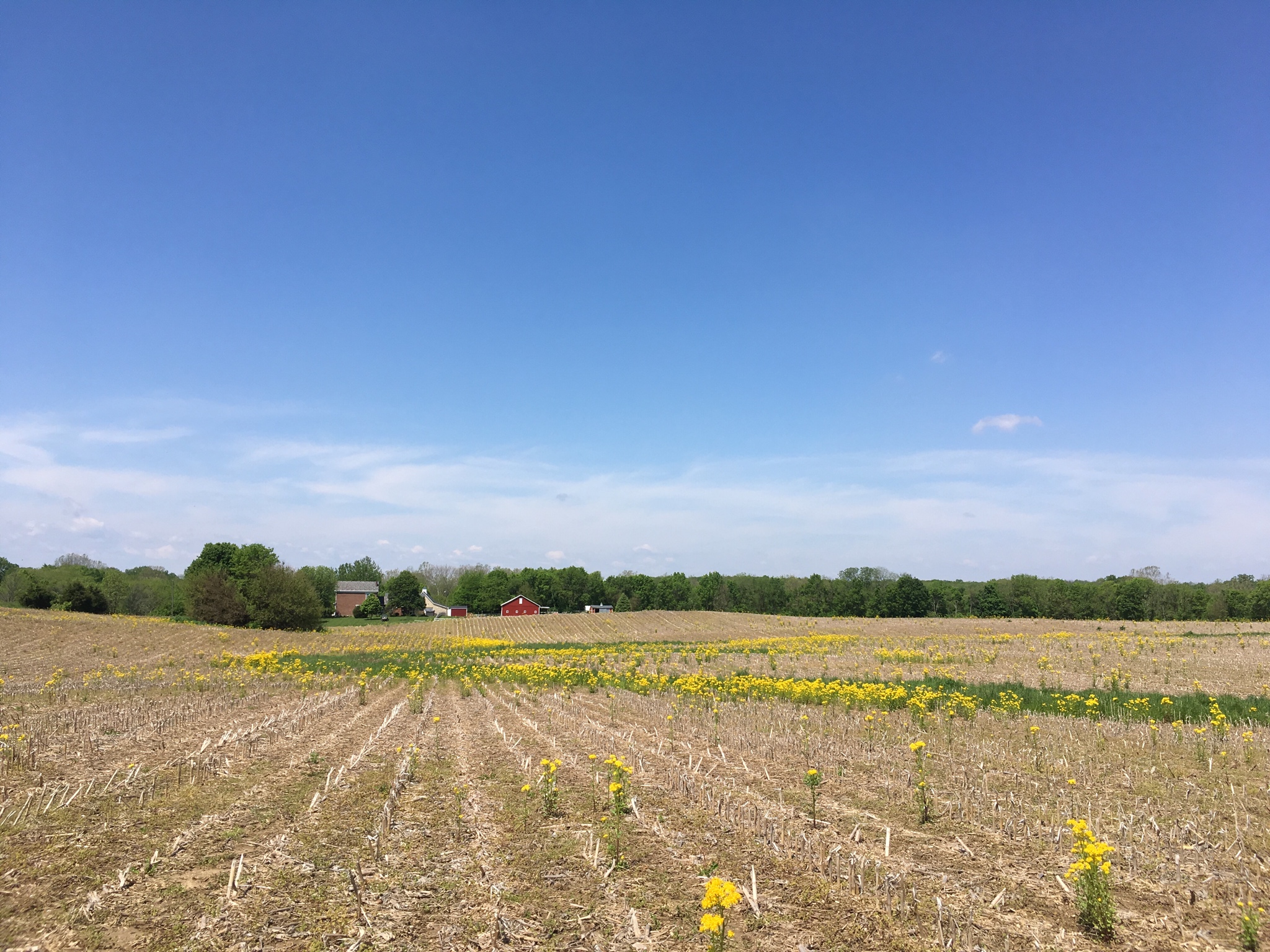
C) I’ve walked east to the head of the future pond. Looking west toward the Cooper Alley House. The house site is just to the right of the knob (point A). (The highest rise, right in the center of this picture)
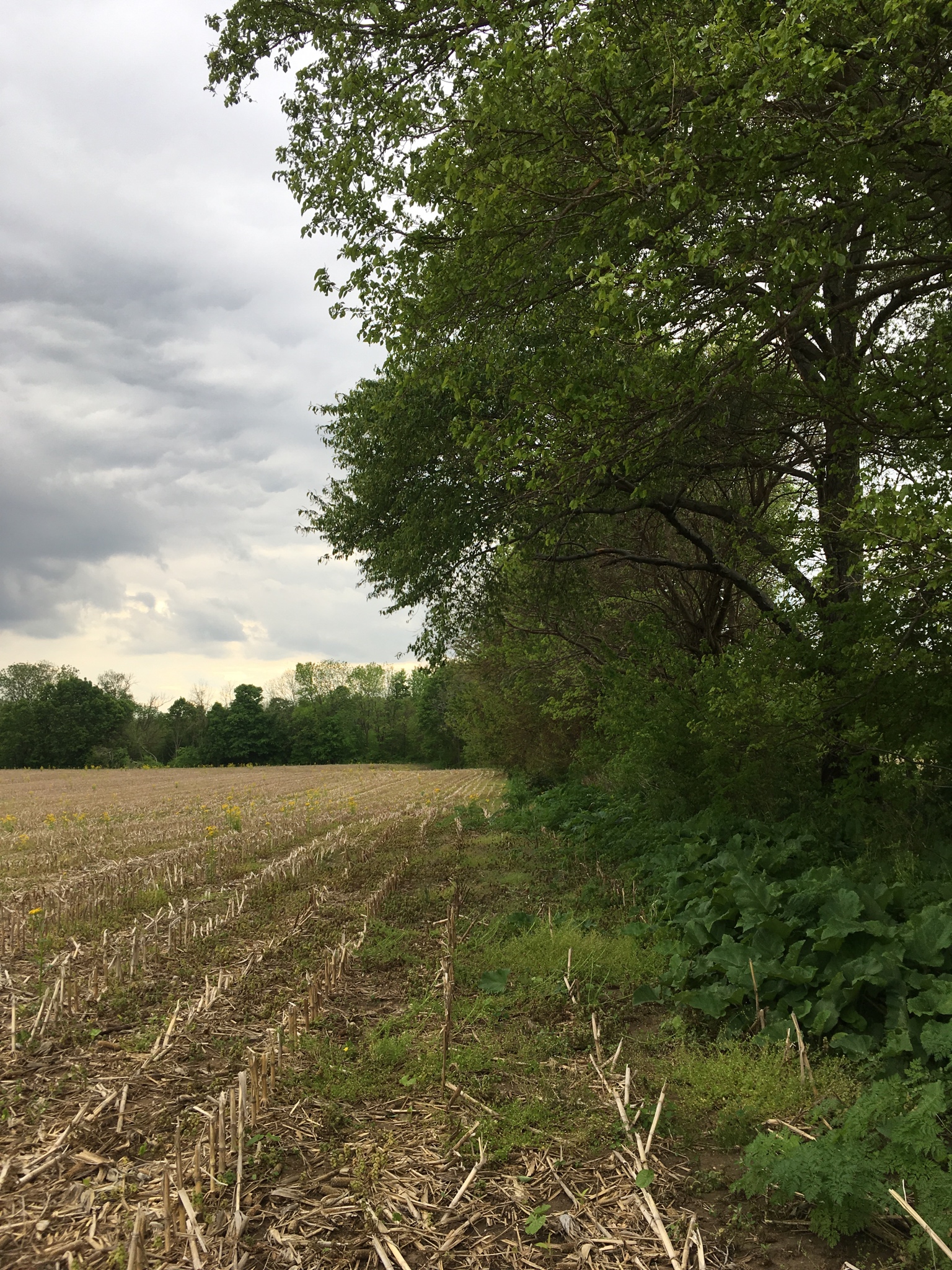
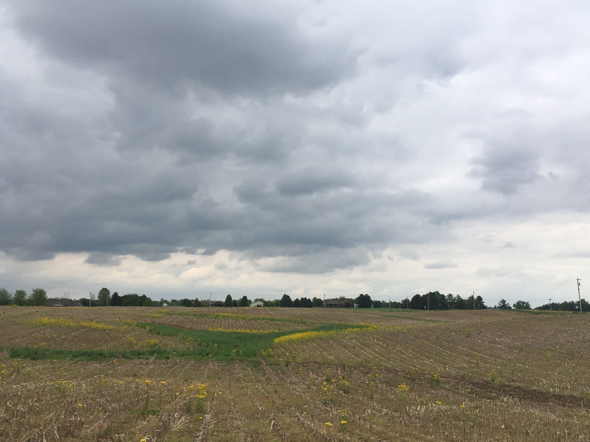
D) Having walked North to the boundary and then west I’m looking west towards the wooded ridge that drops down to the west field.
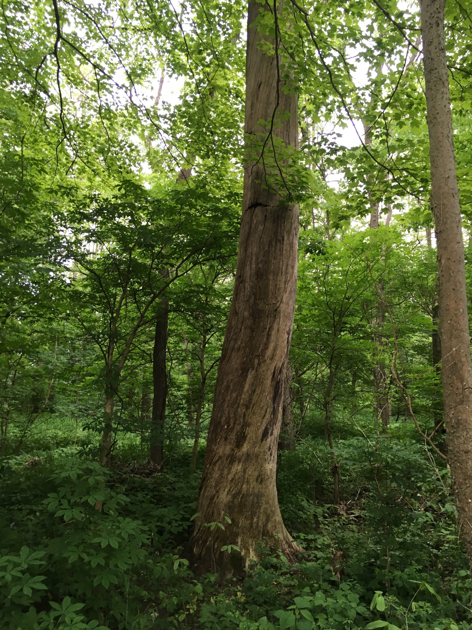
E) Walking down the wooded ridge.
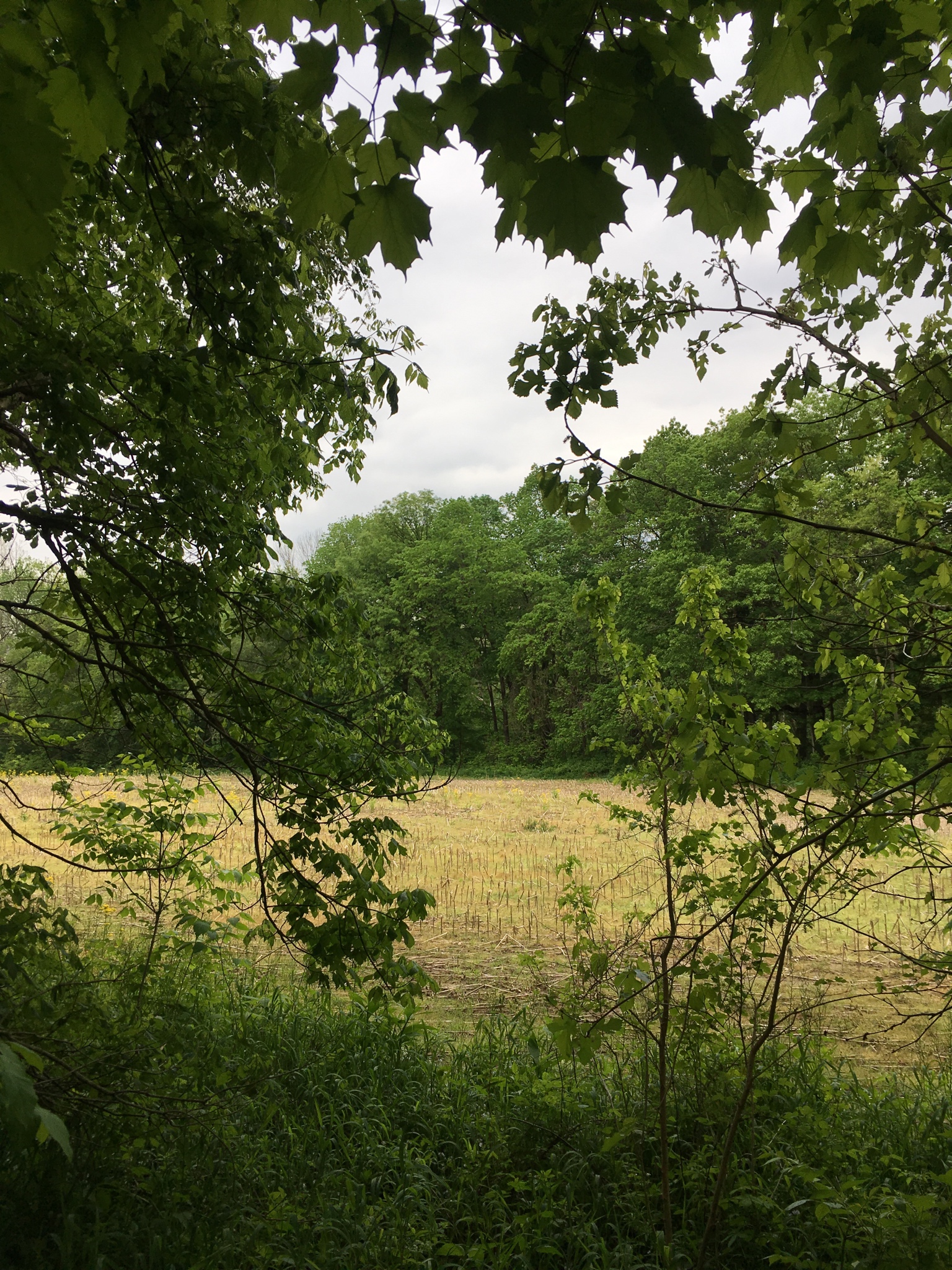
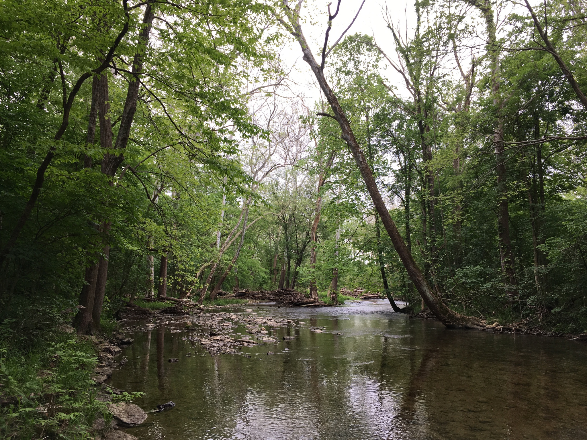
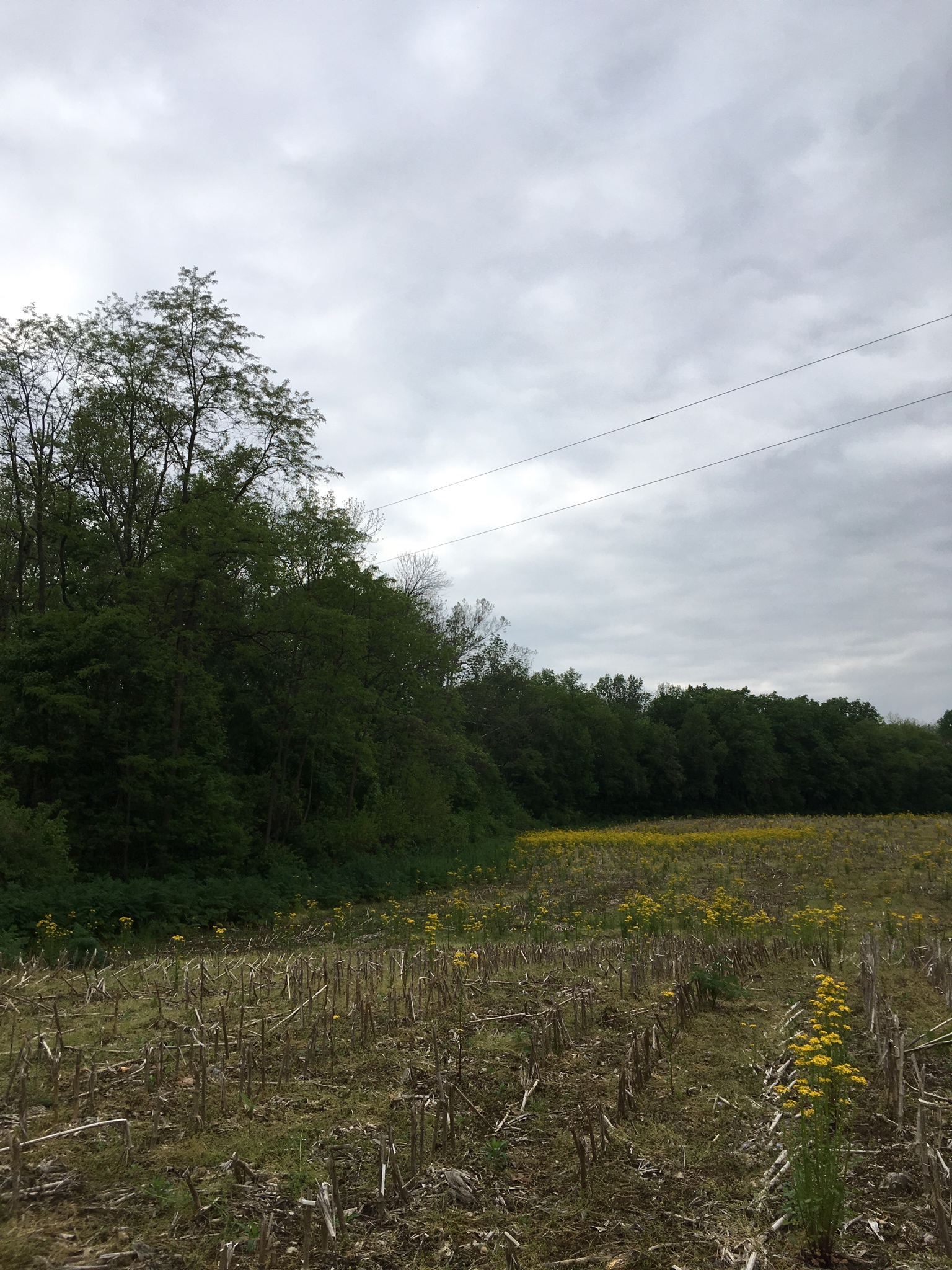
F) And coming out of the trees into the west field. Conns creek runs behind the trees on the other side of the corn stubble.
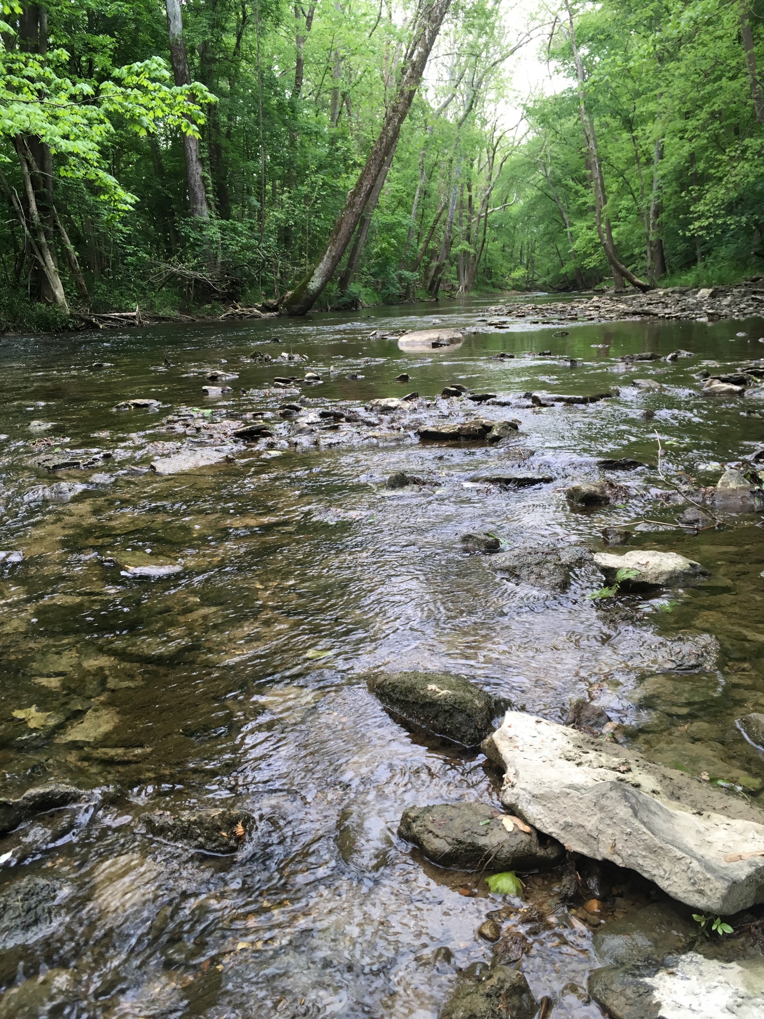
G) Conns Creek
H) Conns Creek
I) Conns Creek
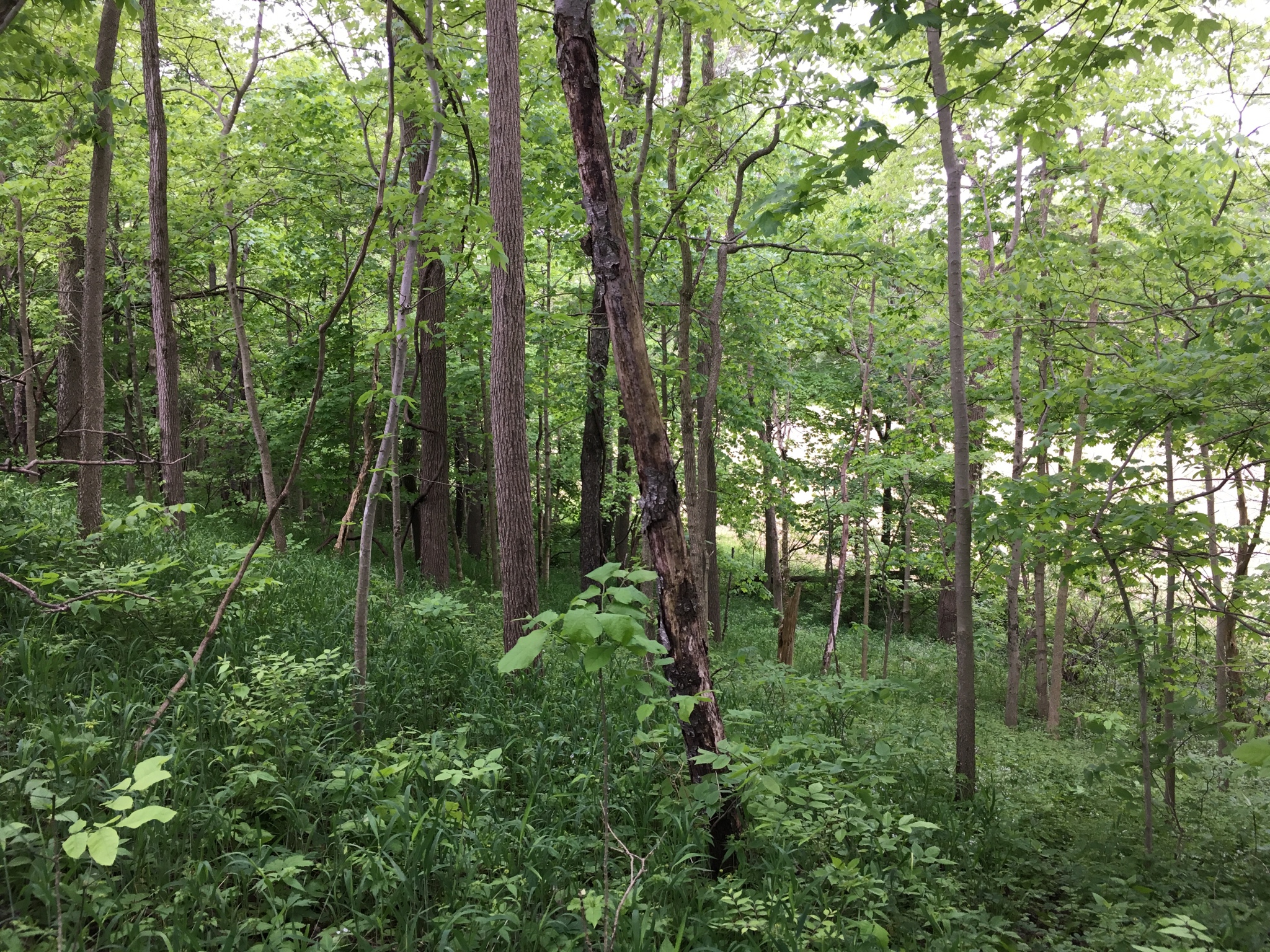
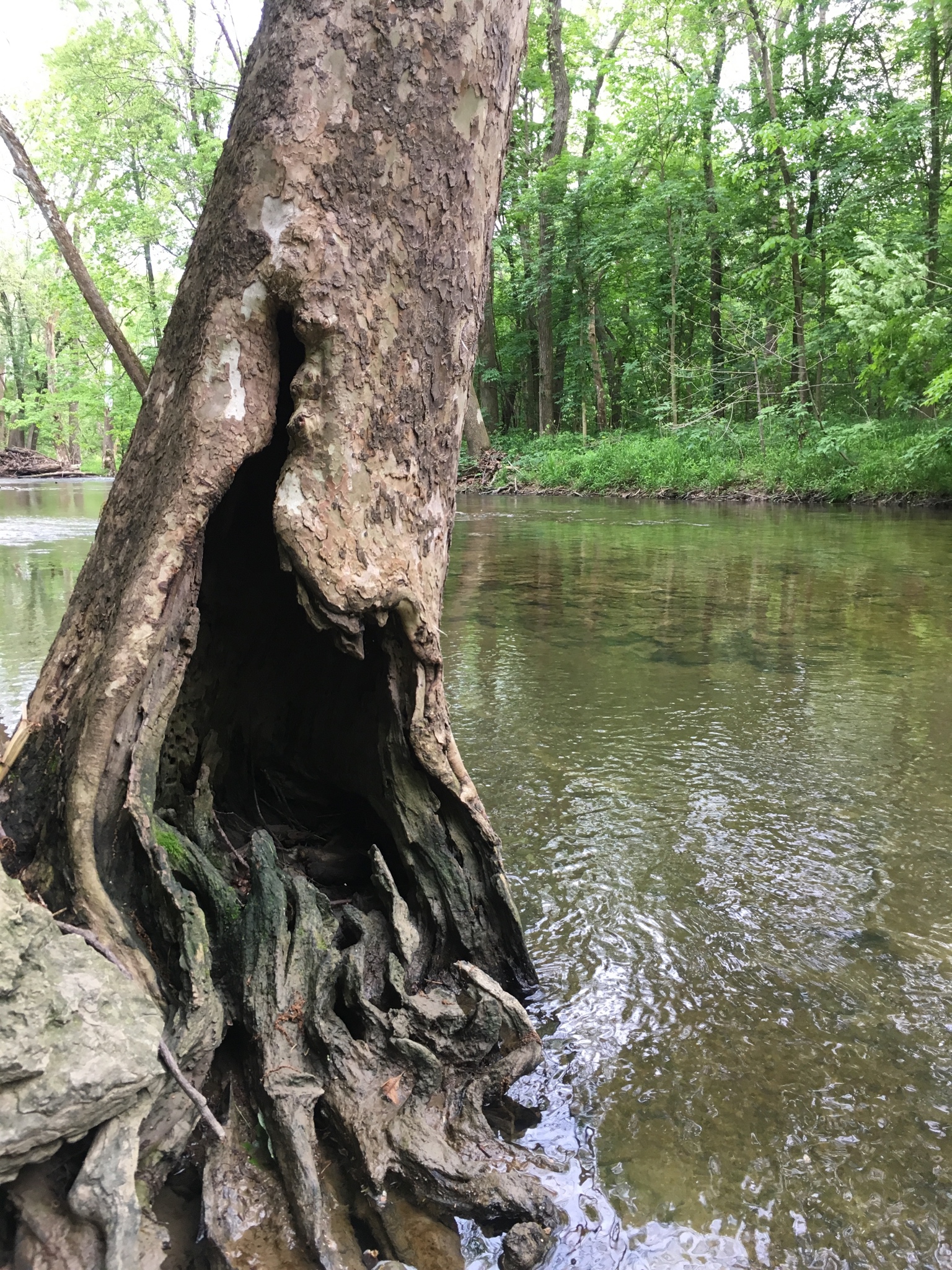
J) Leaving the bank of the creek and heading east again through the woods.
K) Having emerged from the woods, looking North up the west field. Conns creek runs in amongst the trees on my left.
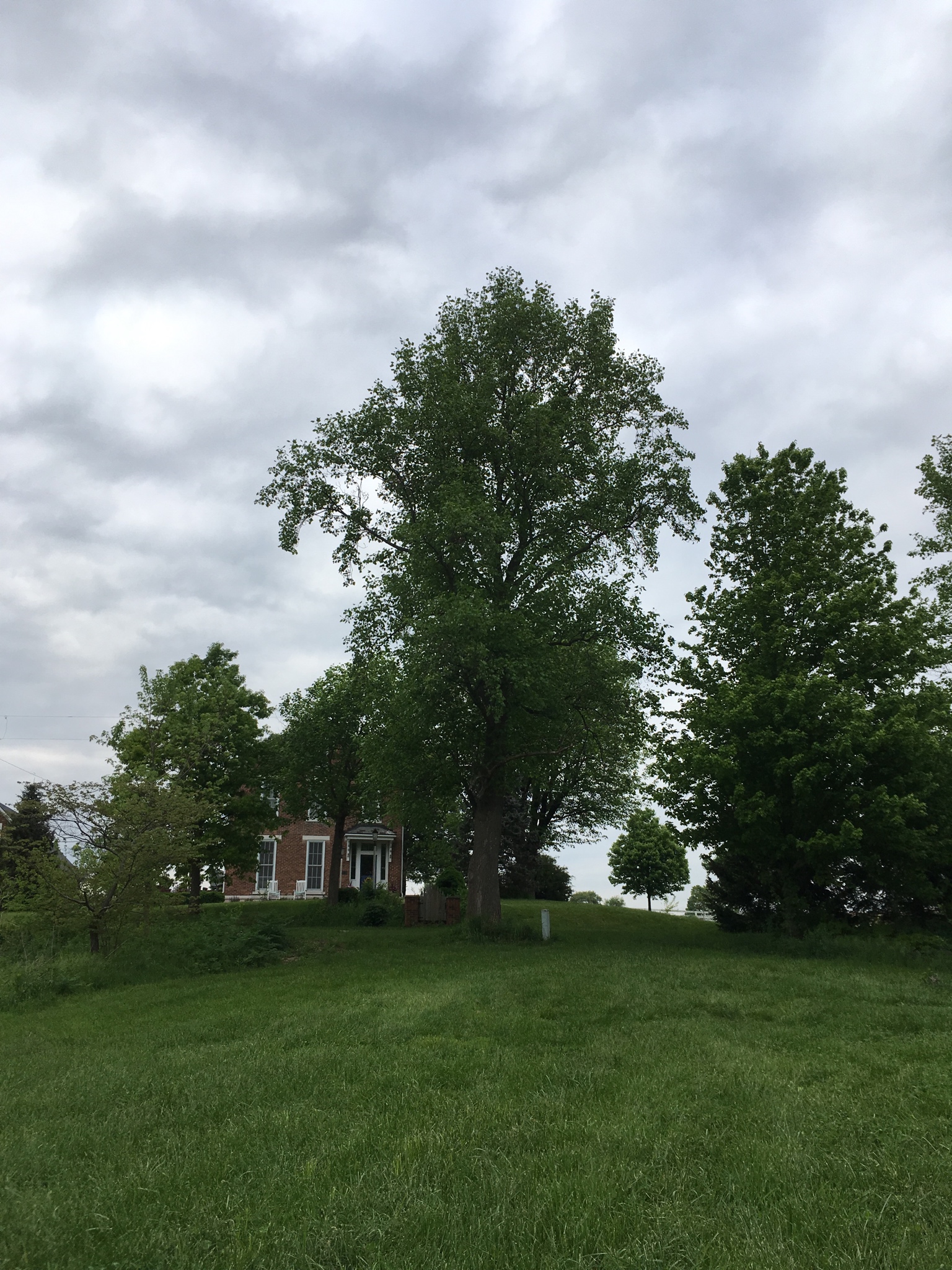
L) Approaching The Cooper Alley House.